Connecting data for more road safety
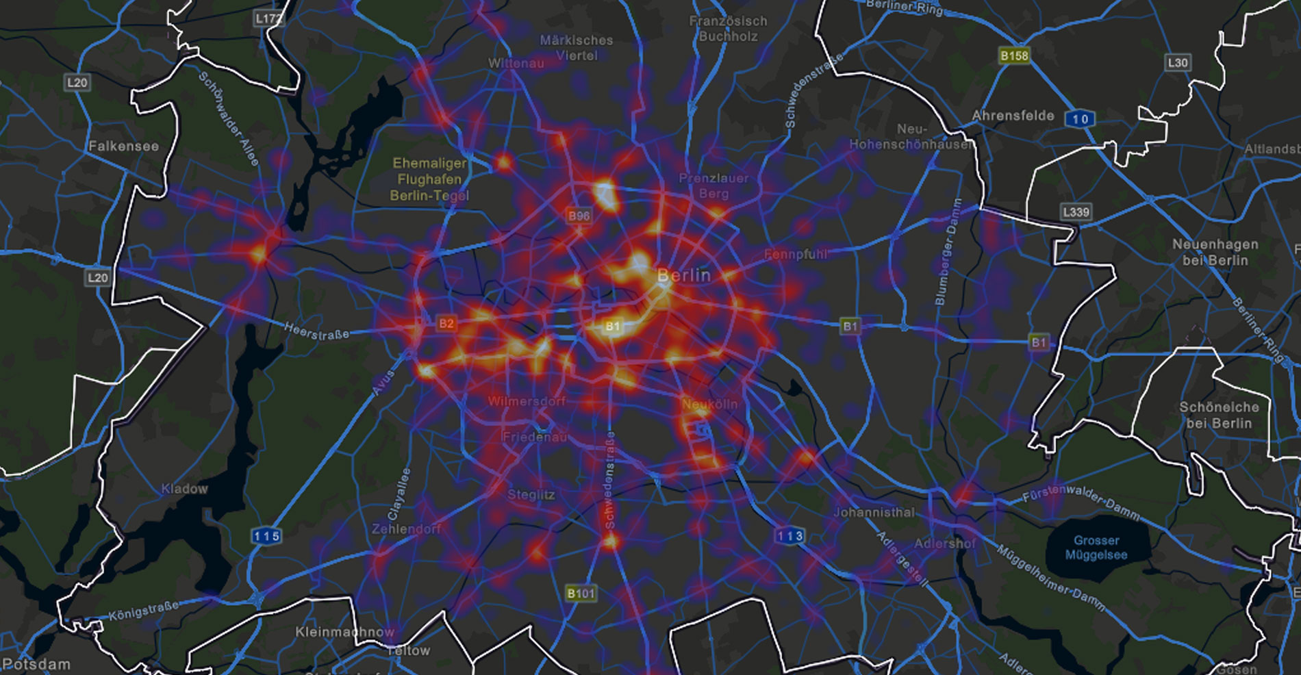
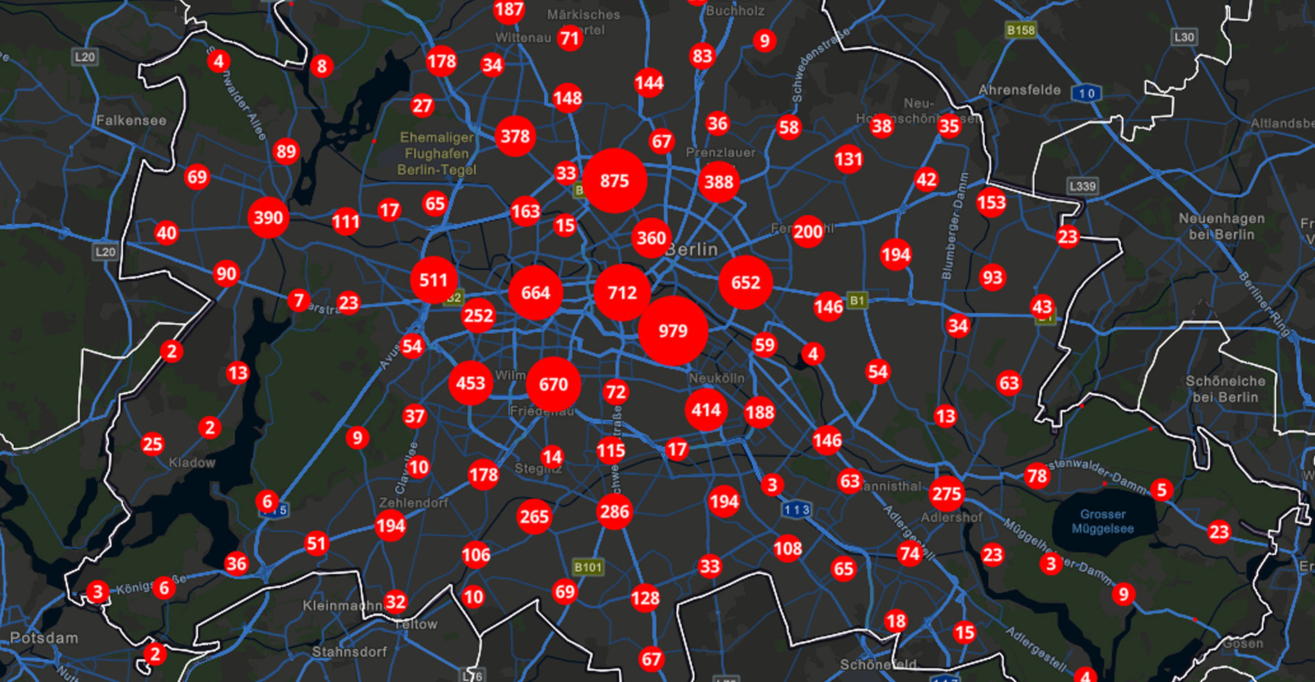
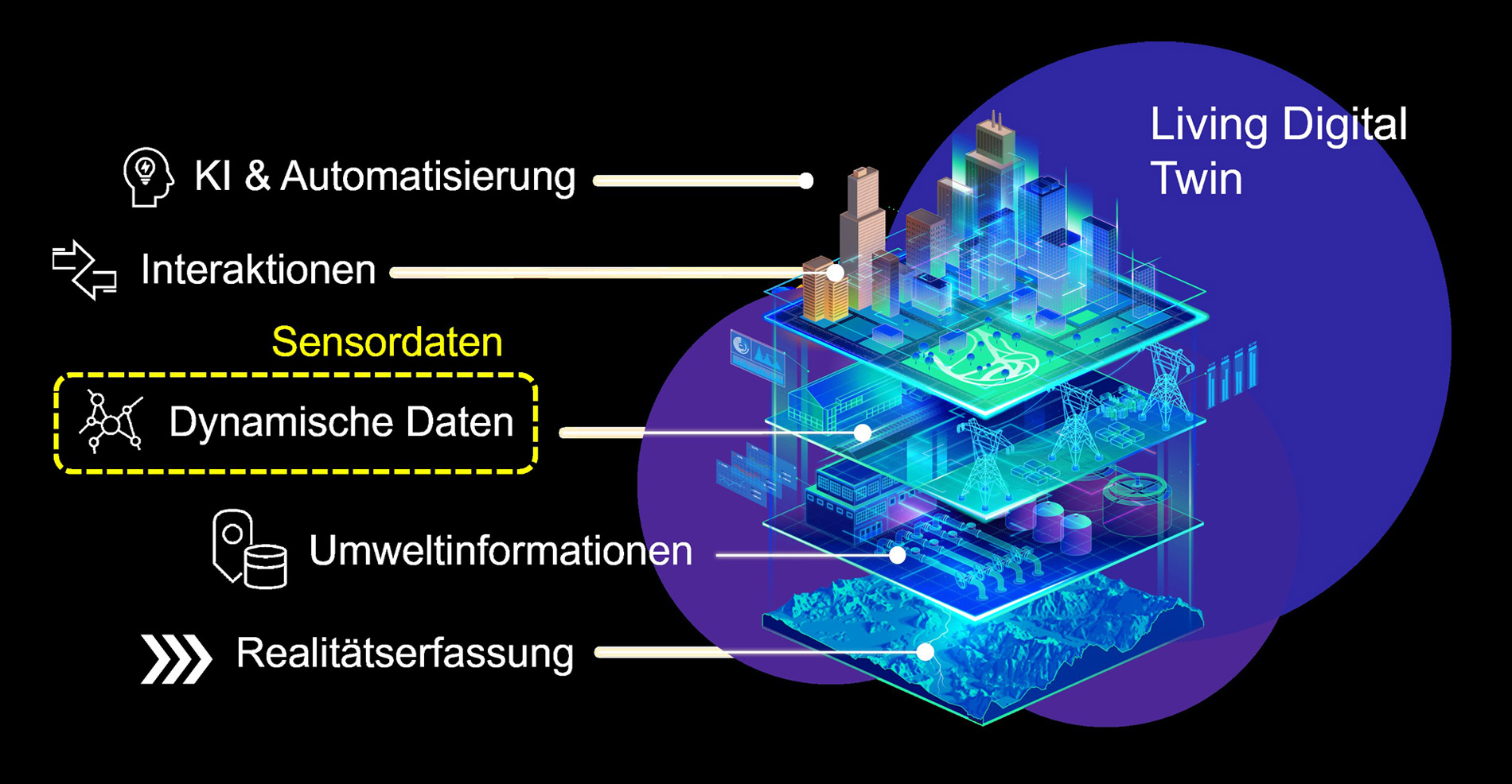
Esri develops the classic “Digital Twin” into a "Living Digital Twin" by integrating sensor data from car manufacturers. This data, which is made available via the MDS, enables precise adaptation to the constantly changing traffic situation. The Living Digital Twin acts as a virtual image of the real traffic environment and provides information on traffic density, road conditions, weather conditions and other relevant factors.
By analysing this data, traffic planners can make informed decisions to optimise traffic flows, identify bottlenecks, and minimise the risk of accidents. In this way, the Living Digital Twin can make a valuable contribution to improving police and rescue operations or more efficient route planning.

Esri's Living Digital Twin serves as a virtual image of the real traffic environment and provides information on traffic density, road and weather conditions as well as other relevant factors.
Data recipient: Esri
Esri is a leading technology provider for location intelligence and geographic information systems (GIS). In our connected and data-driven world, Esri is a pioneer in the innovative use of spatial information. With the ArcGIS system, the company supports organisations and authorities in becoming smarter and more efficient and in shaping a sustainable future.
Voices from the project
Shared data:
Traffic information
Esri integrates sensor data from car manufacturers into its digital twin. This data includes geographic coordinates and transforms the digital twin into a living digital twin that adapts to current conditions.


